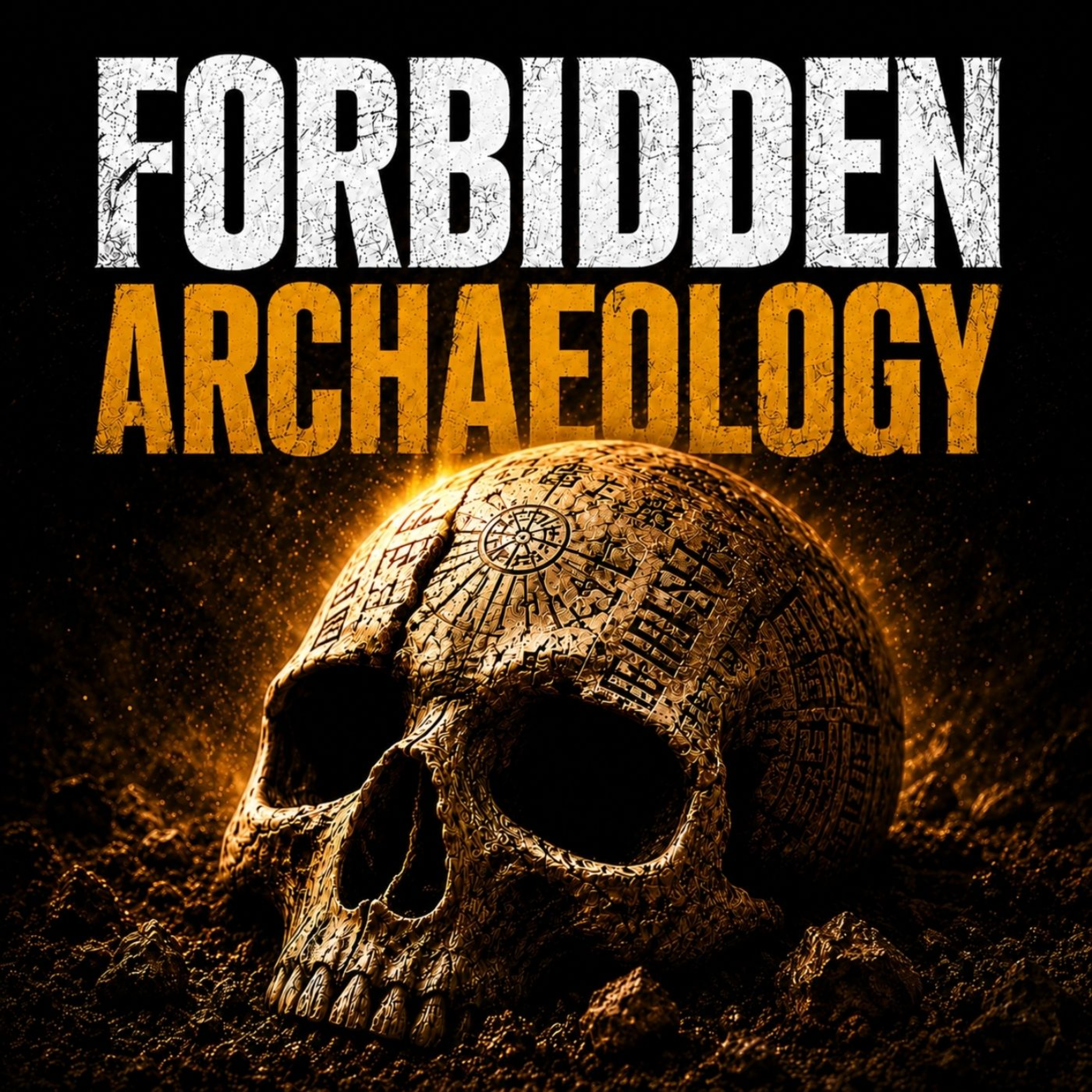
Ancient Maps Show Ice-Free Antarctica — How Is That Possible
https://www.theforbiddenknowledgenetwork.com
Long before modern satellites and ice-breaking expeditions, ancient maps appeared to depict Antarctica without its massive ice sheet. Coastlines are clearly defined. Mountain ranges are visible. And the accuracy of these maps has left historians and scientists deeply puzzled.
In this episode of Ancient Conspiracy Files, we investigate mysterious historical maps such as the Piri Reis map and others that seemingly show an ice-free Antarctica thousands of years before it was officially discovered. How could ancient civilizations have known the true shape of a continent buried under miles of ice?
Were these maps based on lost surveys from an advanced prehistoric civilization? Did ancient cartographers inherit knowledge from an unknown source? Or do these documents point to a suppressed chapter of human history that challenges the accepted timeline of civilization?
The answers raise unsettling questions about forgotten knowledge, lost technology, and who may have explored Antarctica long before modern history records.
🔒 Want the full experience? Get complete video episodes, exclusive bonus content, and access to everything on The Forbidden Knowledge Network — only on Patreon.
👉 https://www.patreon.com/theforbiddenknowledgenetwork
🎧 Search Ancient Conspiracy Files wherever you listen to podcasts.
#AncientConspiracies, #AntarcticaMystery, #LostCivilizations, #ForbiddenHistory, #AncientMaps
You May Also Like

Les grands dossiers de l'Histoire par Franck Ferrand
Radio Classique

Stuff You Missed in History Class
iHeartPodcasts
It's Worth Mentioning
Rett Nelson
Empire
Blockworks
Southern Mysteries Podcast
Shannon Ballard
歴史を紐解く!聞き流し偉人伝
ナスとカイ

Christian History Almanac
1517 Podcasts
Southern Ghost Stories
Southern Ghost Stories
HISTORY This Week
The HISTORY® Channel | Back Pocket Studios

Storiavoce, un podcast d'Histoire & Civilisations
Storiavoce
Les grands dossiers de l'Histoire par Franck Ferrand
Radio Classique
Stuff You Missed in History Class
iHeartPodcasts
It's Worth Mentioning
Rett Nelson
Empire
Blockworks
Southern Mysteries Podcast
Shannon Ballard
歴史を紐解く!聞き流し偉人伝
ナスとカイ
Christian History Almanac
1517 Podcasts
Southern Ghost Stories
Southern Ghost Stories
HISTORY This Week
The HISTORY® Channel | Back Pocket Studios
Storiavoce, un podcast d'Histoire & Civilisations
Storiavoce
Community discussion